
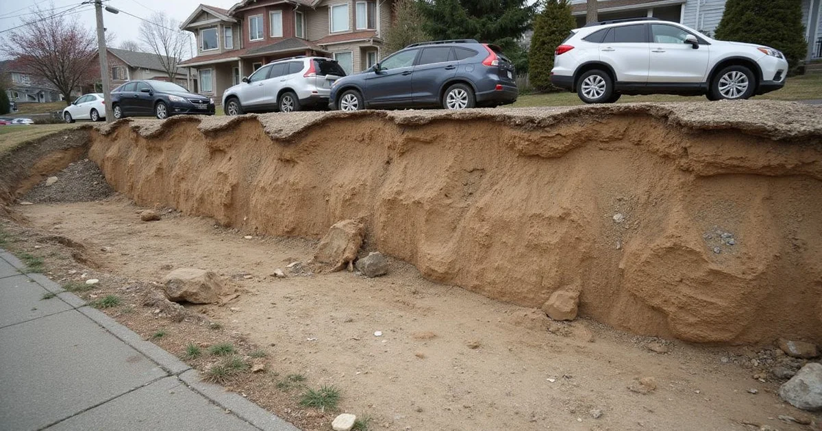
Why Seattle Ground Is Its Own Subject
Foundation advice written for the rest of the country translates poorly here. Puget Sound sits on ground shaped by ice, and then reshaped extensively by people, and the combination produces behaviour that a general article about expansive clay will not describe.
Understanding the broad picture helps you read what a contractor tells you, and it helps you spot the two most common errors in local foundation marketing: describing one soil sequence as universal beneath Seattle, and treating every hillside problem as a landslide. Neither claim survives contact with the actual mapping.
Seattle Foundation Repair works across this region daily, and the single most consistent lesson is that conditions vary, across the city, across a neighbourhood, and across a single lot.
The Glacial Sequence, Briefly
The last glaciation left a layered sequence across much of the Puget Lowland. In broad terms, and with the caveat that it is not present everywhere or in the same order:
Vashon till is the dense, compact material deposited directly beneath the ice sheet. Where present, it is generally excellent bearing material, and it is frequently the target stratum for underpinning in Seattle.
Esperance sand is advance outwash, deposited by meltwater ahead of the advancing ice. Granular, generally free-draining, and variable.
Lawton clay is a fine-grained unit that sits below the outwash sand in the sequence. Its relative impermeability compared with the sand above it is significant, because water moving down through permeable material can perch on top of it and emerge as a seep on a hillside.
Recessional outwash was deposited as the ice retreated, and it varies widely in composition.
The relationship between permeable and less permeable units is where a lot of the practical behaviour comes from. That is also why the generalisation “clay is bad” misses the point: the interaction between the units matters more than any one of them in isolation.
Fill Is Half the Story
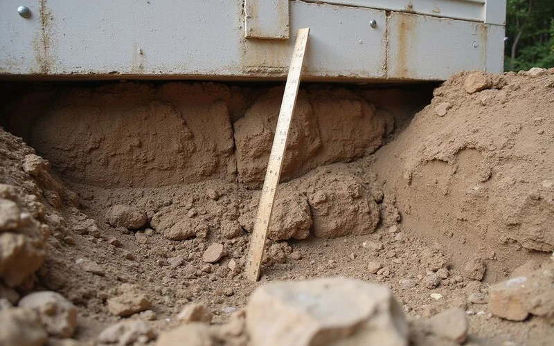
Seattle has moved an extraordinary amount of earth. The Denny Regrade, the tideflats filled to create the industrial district, a century of lots levelled for building, streets cut and embanked, and ravines filled to make buildable ground.
Much of that fill was placed before modern compaction standards, and a great deal of it was placed simply by pushing material downhill.
Uncontrolled fill compresses under sustained load, and it does so slowly and unevenly. This is one of the most common underlying causes of residential settlement in the city, and it has nothing to do with the glacial sequence at all. It is about what was placed on top of it a century later.
Water Is the Active Ingredient
Puget Sound rain is not intense. It is relentless: months of steady rainfall that raises groundwater tables, saturates soil profiles, and sustains conditions that a short storm never would.
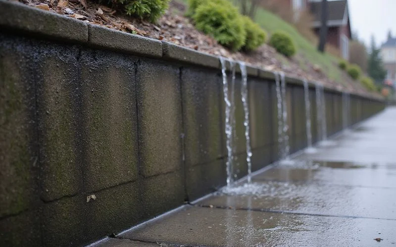
That sustained saturation does several things at once. It increases lateral pressure on basement walls, because saturated soil is heavier and adds a hydrostatic component. It raises the water table toward basement and crawl space levels, particularly in valley-floor areas like Renton, Kent, and Tukwila. It changes the moisture content and therefore the behaviour of fine-grained soils. And where water perches on a less permeable layer within a slope, it creates seepage and locally weakened conditions.
Much of what looks like a soil problem is a water problem acting through the soil. That is why foundation drainage is so often the highest-value work on a property, and why we look at gutters, downspouts, and grading before proposing anything structural.
Slopes: Attention Without Assumption
Seattle has a great deal of sloped residential ground, and slope genuinely matters. Water arrives from uphill. Lots were cut and filled to create building platforms. Some parcels carry steep-slope or landslide-prone designations that affect project review and documentation.
None of that makes every foundation problem on a hillside a landslide problem. A house on a slope can have a settled footing from uncontrolled fill, a wet basement from a failed downspout, or decayed crawl space framing from poor ventilation, the same problems flat-ground houses have.
Conflating the two categories causes real harm in both directions. It frightens homeowners whose problem is a drainage fault, and it can lead to a pier installation on a property where the actual issue was slope movement, which piers do not address.
Why Your Neighbour’s Answer Is Not Your Answer
Two houses on the same block can require different repairs for identical symptoms.
One may sit on native ground where a footing bears on competent material; the neighbouring lot may have been levelled with fill placed against the natural slope. One may have functioning original drainage; the other may have a footing drain that silted shut in 1998. Bearing conditions change with depth and over short horizontal distances.
This is why we take multi-point elevation measurements rather than pattern-matching to previous jobs, and why a site evaluation is not a formality.
Reading Maps Responsibly
Regional geological mapping and hazard mapping are useful tools and they are not site assessments.
A map shows expected conditions at map scale. It does not tell you what sits beneath your footing. A mapped designation flags regional conditions worth investigating; it does not predict that a specific house will fail. Equally, absence from a mapped zone is not proof of safety, mapping reflects what was surveyed at the scale it was surveyed.
We use the Washington Geological Survey and the Department of Natural Resources for local explanation, and we recommend them over contractor marketing pages. Our guide on reading landslide and liquefaction maps covers how to interpret what you find.
What This Means Practically
If you are trying to understand a symptom at your own house, three things follow from all of this.
Manage water first, because it is the active ingredient in most of what goes wrong and it is usually the cheapest thing to correct. Be sceptical of confident claims about what lies beneath your lot, including ours, unless someone has actually investigated it. And expect the answer to be specific to your property rather than to your neighbourhood.
The detail on how these conditions translate into actual settlement mechanisms is covered in how Seattle soils cause foundation settlement.